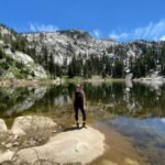
If you are looking for a way to escape the hustle and bustle of the city and reconnect with nature, consider some of the amazing hikes around Taos.
Taos is a charming town in northern New Mexico, famous for its rich cultural heritage, artistic vibe, and stunning scenery. Surrounded by the Sangre de Cristo Mountains, Taos offers a variety of hiking trails for all levels of experience and interest.
So, what are you waiting for? Get ready to discover some of the best hikes around Taos. In this blog, we will introduce you to 12 of the most scenic and enjoyable trails that will make you fall in love with this place.
VISUAL STORY: 10 Epic Historic Sites in the West Region for Your Must-Visit List
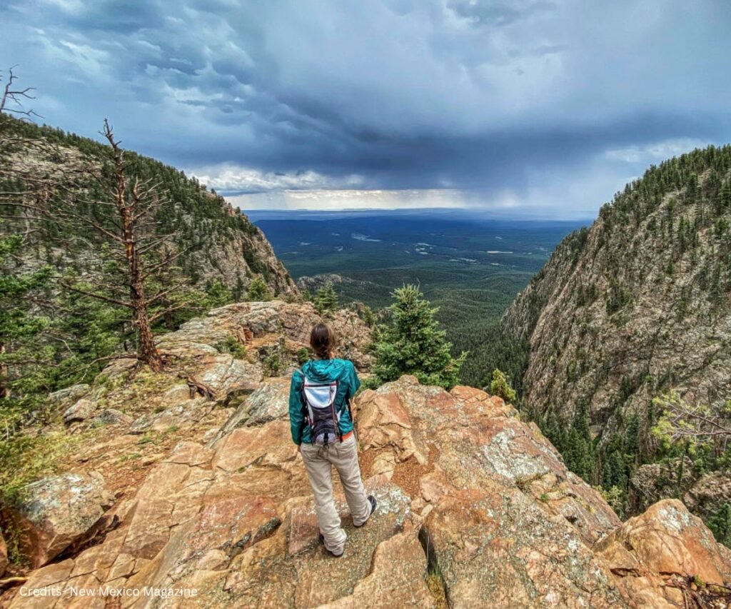
12 Best Hikes Around Taos
Now, let’s explore these 12 best hikes around Taos that promise awe-inspiring views, tranquility, and a deep connection with the great outdoors. These hikes are easy going animal friendly, and make you enjoy the best time with your friends or family.
Easy Hikes Around Taos
1. Rio Grande Gorge West Rim Trail
Length: 3.8 miles
Elevation Gain: approx. 240 feet
Trail Type: Out and back
Special Features: Stunning views of the Rio Grande Gorge, a narrow chasm carved by the river millions of years ago
Location: Find it on Google Maps
Rio Grande Gorge West Rim Trail offers mesmerizing views of one of North America’s iconic rivers. Traverse cliffs and rocky outcrops unveil panoramic vistas of the Rio Grande below.
Keep an eye out for bighorn sheep, eagles, and hawks gracing this widespread and easily accessible hike around Taos.
It’s a must-experience for any visitor, promising an unforgettable journey amidst nature’s grandeur in one of the most stunning hikes around Taos.
2. Black Rock Hot Springs
Length: 0.3 miles
Elevation Gain: 68 feet
Trail Type: Out and back
Special Features: Natural hot springs, primitive and rock-bottomed, where you can soak and relax
Location: Find it on Google Maps
Discover the secluded allure of Black Rock Hot Springs, a hidden treasure in the hikes around Taos. A mere 0.3-mile stroll along the Rio Grande from the nearest trailhead unveils these natural hot springs.
The pools, influenced by river run-off and the season, typically offer a warm and inviting embrace. Free of charge, these springs allow you to immerse yourself in clothing-optional.
Ensure to follow the principle of leaving no trace, respecting both the environment and fellow hikers. Black Rock Hot Springs promises a serene escape, inviting you to relish nature’s wonders in the heart of Taos.
3. Enchanted Circle
Length: 84 miles
Elevation Gain: 6,545 feet
Trail Type: Loop
Special Features: Dramatic mountain vistas of aspen and pine in the shadow of Wheeler Peak, New Mexico’s highest point
Location: Find it on Google Maps
Explore the enchanting Enchanted Circle, not just a hiking trail but a scenic byway linking Taos to Red River, Eagle Nest, and Angel Fire.
This route promises a breathtaking journey through the diverse landscapes of northern New Mexico, from alpine meadows to desert valleys.
Take advantage of various stops along the way to marvel at the scenery, delve into historical sites, or embark on hikes around Taos.
This route offers a perfect opportunity to immerse yourself in the region’s charm and beauty within a single day. Take advantage of the Enchanted Circle for an unforgettable experience.
4. Big Arsenic Springs Trail
Length: 2.4 miles
Elevation Gain: 839 feet
Trail Type: Out and back
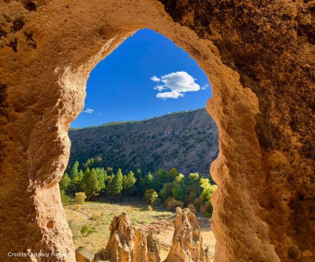
Special Features: A waterfall, a natural spring, and petroglyphs along the way
Location: Find it on Google Maps
For a serene and picturesque hike near Taos, explore the Big Arsenic Springs Trail. This leisurely trek leads you to the Rio Grande, offering opportunities to cool off in the water or unwind by the waterfall.
Along the way, discover ancient petroglyphs etched on the rocks, adding a sense of history and intrigue. With well-maintained paths and gentle switchbacks, this trail is suitable for all skill levels.
Marvel at the breathtaking views of the river and canyon, and keep an eye out for wildlife such as bighorn sheep, otters, and birds. Ideal for nature enthusiasts and families, this is among the top hikes around Taos.
5. Rift Valley Trail
Length: 10.5 miles
Elevation Gain: 853 feet
Trail Type: Loop
Special Features: A comprehensive and smooth trail that follows the edge of the Rio Grande Gorge, great for biking and horseback riding
Location: Find it on Google Maps
The Rift Valley Trail is an easy and scenic hike providing mesmerizing vistas of the Rio Grande Gorge and neighboring mountains, becoming a favored choice among hikes around Taos.
This versatile trail caters to various outdoor enthusiasts, with its vast and smooth paths ideal for hiking, biking, and horseback riding. As you journey along the gorge’s edge, be captivated by the dramatic cliffs and the winding river below.
Traverse is a tranquil sagebrush plain showcasing vibrant wildflowers and cacti. Perfect for families and beginners, this hike promises a delightful excursion, striking a balance between accessibility and natural beauty. Immerse yourself in nature’s wonders on the Rift Valley Trail.
Moderate Hikes Around Taos
6. Devisadero Loop Trail
Length: 5.5 miles
Elevation Gain: 1,335 feet
Trail Type: Loop
Special Features: Enjoy panoramic vistas of the valley beneath, with trail segments varying from technical to smooth and rapid.
Location: Find it on Google Maps
If you’re seeking a varied and exciting hike around Taos, look no further than the Devisadero Loop Trail. This thrilling adventure climbs to the top of Devisadero Peak, a prominent landmark in the area.
Traverse diverse terrain as you follow a creek, cross a meadow, and ascend through a forest of ponderosa pine and aspen. While the trail is well-marked, rocky and narrow sections add an extra challenge.
The highlight awaits at the summit, where breathtaking views of Taos and the surrounding mountains unfold. Popular among locals and visitors alike, the Devisadero Loop Trail offers an unforgettable outdoor experience in the hikes around Taos.
7. South Boundary Trail to First Peak

Length: 3.5 miles
Elevation Gain: 987 feet
Trail Type: Out and back
Special Features: Access to Lobo Peak, Gold Hill, and Flag Mountain, viewpoints of Taos and the mountains through the trees
Location: Find it on Google Maps
Without a doubt, the South Boundary Trail to First Peak is a hidden gem among hikes around Taos, guiding you through diverse landscapes.
Commencing from the ski valley, the trail leads you through a scenic forest of spruce and fir, navigating across a creek and meadow. While the trail is pretty well-marked, having the offline map downloaded aids in navigation.
Be prepared for challenging terrain with rocky and narrow sections. Upon reaching the first peak, revel in the breathtaking views of the valley and surrounding peaks. For adventurous souls, the option to continue exploring the other peaks awaits along this exhilarating trail.
8. Italianos Canyon Trail
Length: around 3.5 miles
Elevation Gain: 2.800 feet
Trail Type: Out and back
Special Features: A scenic and secluded canyon with a stream, meadows, and wildflowers
Location: Find it on Google Maps
This moderate hike, known as the Italianos Canyon Trail, guides you through a picturesque and serene canyon, offering solitude and immersion in nature’s beauty. Follow the trail alongside a tranquil stream, meandering through meadows and forests adorned with aspen and pine.
Although featuring some switchbacks, the well-maintained path ensures a manageable ascent without excessive steepness or difficulty.
Marvel at the breathtaking views of the canyon and surrounding mountains while keeping an eye out for wildlife encounters, including elk, bears, and birds. Italians Canyon Trail promises an enchanting journey into the heart of nature, making it a must-visit among hikes around Taos.
Hard Hikes Around Taos
9. Ojitos Canyon Trail
Length: 15.2 miles
Elevation Gain: 3,333 feet
Trail Type: Loop
Special Features: Incredible views at the top, access to other trails, such as 164
Location: Find it on Google Maps
Ojitos Canyon Trail offers a challenging adventure among hikes around Taos, leading you on a long and strenuous journey to the ridge overlooking the Taos Valley.
Trek through a forest of pine and aspen, traversing streams and meadows along the way. While the trail predominantly ascends, expect steep and rocky sections that require adequate preparation with water, food, and gear.
Reaching the summit rewards you with breathtaking views of the mountains, town, and river below. For an extended and more challenging hike, consider looping the trail with Trail 164. Ojitos Canyon Trail promises an unforgettable outdoor experience for avid hikers seeking stunning vistas.
10. Williams Lake via Wheeler Peak
Length: 8.7 miles
Elevation Gain: approx.3000 feet
Trail Type: Out and back
Special Features: Wheeler Peak is the highest point in New Mexico; Williams Lake is a stunning alpine lake; the summit is challenging and gains about 2,000 feet in a little over two miles
Location: Find it on Google Maps
Williams Lake via Wheeler Peak hike, a beloved trail among hikes around Taos leading to New Mexico’s highest point, Wheeler Peak. Starting from the ski valley, this trail guides you to the stunning Williams Lake, nestled among majestic mountains.
Opt for an immersive overnight camping experience by the lake, or challenge yourself by reaching the summit in a single day.
The ascent is moderately challenging, with an elevation gain of approximately 2,000 feet in just over two miles. Traverse rocky and exposed terrain, encountering some scrambling and switchbacks along the way.
At the summit, revel in the awe-inspiring panoramic views stretching across the entire state and beyond.
You may also read
– The 12 Best & Must-Visit Coffee Shops in Taos, NM
– 7 Best Pizza Places In Taos, New Mexico
11. The Slide Trail
Length: 0.3 – 9.6 miles
Elevation Gain: 700 feet
Trail Type: Out and back
Special Features: The trail follows the Rio Grande; the trail got its name after a large landslide buried a section of NM 570 about 25 years ago; the trail is rugged and remote
Location: Find it on Google Maps
Keep your memory alive with the exhilarating The Slide Hike, an unforgettable adventure amidst the stunning hikes around Taos. Named after a 1990s landslide that transformed the landscape, this challenging trek follows the Rio Grande through remote and rugged terrain.
Prepare to navigate unmarked paths and scramble over boulders and debris as you cross the river multiple times.
Despite its lack of maintenance, the trail offers an authentic wilderness experience that adds to the allure of hikes around Taos. Embrace the raw beauty of nature as you embark on this unforgettable journey through the heart of the Rio Grande landscape.
12. Lobo Peak
Length: 10.7 miles
Elevation Gain: 3,900 feet
Trail Type: Out and back
Special Features: Lobo Peak is the second-highest point in New Mexico. From the summit, behold sweeping vistas of the neighboring peaks and valleys.
Location: Find it on Google Maps.
Another best hike around Taos awaits at Lobo Peak, offering both challenge and reward as it leads to the second-highest point in New Mexico.
Setting off from the ski valley, you’ll traverse through a majestic forest of spruce and fir, crossing picturesque creeks and meadows along the way. While the trail is reasonably well-marked, it’s wise to have an offline map handy for navigation.
Expect rocky and narrow passages, with the terrain gaining about 2,000 feet in just over two miles. The summit presents a relatively challenging ascent, with rocky, exposed sections, switchbacks, and occasional scrambling.
Yet, the breathtaking views from the top, spanning across the entire state and beyond, make every step worth it on one of the finest hikes around Taos.
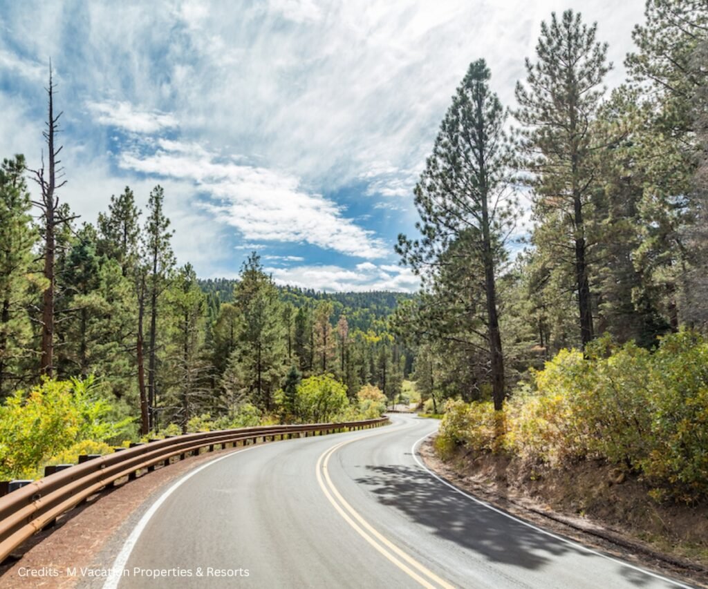
When is the Best Time to Go Hiking around Taos?
The best time to go hiking around Taos depends on your preference and the type of hike you want to do. Generally speaking, spring and fall are the most pleasant seasons, as the weather is mild, the crowds are fewer, and the colors are vibrant.
However, summer and winter also have their charms as long as you are prepared for the heat or the snow.
Here are some tips for each season:
- Spring: Enjoy blooming flowers and greenery, but check trail conditions for closures and mud. Watch for afternoon thunderstorms and flash floods.
- Summer: Optimal for hiking, but be wary of heat and crowds. Start early, bring water and sunscreen, and choose shaded, higher-elevation trails. Beware of monsoon rains and lightning storms.
- Fall: Best time with fantastic weather, thinner crowds, and stunning foliage. Prepare for potential snow in higher elevations, and dress in layers.
- Winter: Challenging but rewarding. Quieter trails with snow-covered landscapes. Use proper winter gear and check for avalanche risk. Be mindful of shorter daylight hours and check the weather forecast.
Essential Safety Guidelines: Ensuring a Secure Hiking Experience in Taos
Hiking around Taos is a fun and healthy activity, but it also involves some risks and challenges. To ensure a secure hiking experience in Taos, you need to follow some essential safety guidelines.
These guidelines will help you prevent accidents, injuries, and emergencies and deal with them if they occur.
Here are some of the most essential safety tips for hiking around Taos:
- Plan Ahead: Research trials, weather, and terrain. Choose a hiking trail that aligns with your current level of fitness. Check trail conditions, distance, elevation gain, and difficulty. Pack necessary gear, food, and water. Share the itinerary with someone trusted.
- Stay on the Trail: Stick to marked trails to protect the environment and prevent getting lost or injured. If lost, stay put and try to retrace steps. Avoid panic and wandering off.
- Be Weather-ready: Prepare for rapid weather changes. Layer your clothing, and wear a hat, sunglasses, and sunscreen for protection against the elements. Carry a rain jacket, warm layers, hat, and gloves. Avoid hiking in stormy afternoons, and seek shelter if needed.
- Stay Hydrated and Fueled: Drink plenty of water and eat snacks regularly, especially at high altitudes. Carry extra water, and avoid alcohol, caffeine, and sugary drinks. Opt for carbs, protein, and fat-rich foods like nuts, dried fruits, granola bars, and cheese.
- Respect Wildlife: Enjoy wildlife from a safe distance. Don’t feed or approach animals. Secure food and trash. Make noise while hiking. Carry a whistle, bell, or bear spray for protection. Stay calm if encountering wildlife, back away slowly, and avoid running or screaming.
Essential Gear For Hiking around Taos
Gear up for hikes around Taos with essential items, ensuring comfort, enjoyment, and safety. Adapt to seasonal and weather changes with necessary gear for an optimal experience.
- Proper footwear: Ensure sturdy hiking boots or shoes for comfort and stability on varied terrain.
- Weather-appropriate clothing: Dress in layers and bring rain gear to adapt to changing conditions.
- Navigation tools: Carry a map, compass, or GPS device to stay on track and find your way.
- Hydration: Bring plenty of water or a filtration system to stay hydrated during the hike.
- Nutrition: Pack high-energy snacks like nuts, dried fruits, and protein bars for sustained energy.
- First aid kit: Include essentials like bandages, antiseptic wipes, and pain relievers for minor injuries.
- Emergency shelter: Carry a lightweight tent or emergency backpack for unexpected overnight stays.
- Communication device: Have a fully charged cell phone or satellite communicator for emergencies.
- Sun protection: Wear a hat, sunglasses, and sunscreen to shield from harmful UV rays.
- Multi-tool or knife: Have a versatile tool for minor repairs or unexpected situations on the trail.
FAQs
Can we hike Taos Mountain?
Yes, Taos Mountain offers various hiking trails for outdoor enthusiasts, providing stunning views and adventure opportunities.
What are the best day hikes near Taos, NM?
Popular day hikes include the Williams Lake Trail leading to Wheeler Peak, showcasing stunning alpine scenery, and the scenic Devisadero Loop offering panoramic views of the Taos Valley.
How long does it take to climb Wheeler Peak, New Mexico?
The 8.7-mile trail near Taos Ski Valley is challenging, typically taking around 5 hours and 38 minutes to complete.
What is the most challenging hike in New Mexico?
The Wheeler Peak Summit Trail in Taos Ski Valley is often regarded as the most challenging, offering a strenuous trek to the state’s highest peak at 13,167 feet.
Is it required to be a professional hiker to hike around Taos?
No, there are trails of varying difficulty levels around Taos suitable for hikers of all skill levels, from beginners to experienced adventurers.
Is there a place to rent bicycles for hiking near Taos?
Yes, several rental shops in Taos offer bicycles suitable for exploring nearby hiking trails, providing convenient options for outdoor enthusiasts looking to bike and hike in the area.